
Osceola Neighbors Record Sources
A useful block search begins with land records because they preserve the physical arrangement of lots. The OCPA map connects each polygon to a property card, while county GIS adds zoning, flood, commission, and service layers. A released voter file may show registered addresses after exclusions. Permits can show work at an address. Plats define subdivision lots and blocks. Each source describes one public layer, not a complete household roster.
| Source | What It Shows About a Block | Access |
|---|---|---|
| OCPA map | Parcel layout and links to owners and property cards | Free click and browse |
| County GIS | Zoning, flood, commission, and service geography | Free layers |
| Released voter file | Registered addresses after lawful exclusions | Public request and redaction |
| Permits and code | Projects, applicants, contractors, and dates | Jurisdiction portal or request |
| Plats | Subdivision lots, blocks, and easements | Clerk records |
| Civic groups | Boundaries, board officers, and contact channels | Public pages; rosters usually private |
An owner name does not prove that the person occupies the parcel. Mailing and situs addresses may differ, and renters rarely appear in ownership records. Homestead plus matching mailing and situs data supports an owner-occupancy inference, but it still cannot identify all Osceola County neighbors at that address.
Map Osceola Neighbors by Parcel
The parcel method moves outward from one known point. It avoids a whole-street text search that can miss unit numbers, directional forms, and suffix changes. Keep the parcel layer visible and record the parcel ID before opening each linked property card. For a deeper run along the full road, the Osceola County street directory follows the address chain beyond the immediate block.
- Search the exact address in OCPA and select its polygon.
- Record the parcel ID, situs, owner, mailing address, and legal description.
- Click each parcel sharing a boundary, then map the lots across the street.
- Open every linked property card and keep owners separate from occupants.
- Confirm municipal or county jurisdiction before searching permits or code cases.
The process is address → parcel → adjoining polygons → owner cards → jurisdiction layer. It does not need a people-radius tool. Measure, select, and print controls vary among Osceola County GIS applications, so preserve parcel identifiers rather than relying on a temporary map view.
- Parcel
- A mapped unit of land tied to a tax-roll identifier.
- Situs address
- The physical location assigned to the parcel.
- Plat
- A recorded map that defines lots, blocks, roads, and easements in a subdivision.
Count Osceola Condominium Neighbors
One building footprint can hide many separate unit parcels. That is common in Celebration, Reunion, ChampionsGate, Four Corners, and tourism-oriented parts of Osceola County. Search by condominium or subdivision when clicking the visible footprint does not expose every unit. Association parcels, common areas, trusts, companies, and out-of-county mailing addresses can appear beside separately owned units.
Do not turn one polygon into one assumed household. Compare the condo declaration or plat, unit parcel identifiers, owner cards, and mailing addresses. A large parcel may also cover undeveloped land or common property. The legal description is the best bridge when the street label or complex name groups several distinct records. Current parcel data is stronger than a private block list because its source and date are visible, yet it still reports ownership rather than daily presence.
Note: Short-term use and absentee ownership make a property card especially poor proof of who is present on any given day.
Osceola Neighbors and Voter Data
The identity-gated Florida voter lookup is built to confirm one registration with first name, last name, date of birth, and county. It is not an anonymous reverse directory for a block. Vote Osceola accepts public-record requests, and its 2025 newsletter identified the voter registration roll as the office's most requested dataset. A request should specify the desired fields, snapshot date, and file format, then ask for a cost estimate.
A lawfully released file may include name, residence or mailing address, status or date, party affiliation, precinct, districts, and whether a ballot was cast. It never reveals ballot choices. Section 97.0585 withholds Social Security, driver-license and Florida-ID numbers, registration-place information, preregistrant details, and copied signatures. Address confidentiality and occupational exemptions can remove more location data.
Absence proves little. Children, noncitizens, unregistered adults, inactive or cancelled registrations, and protected people will not form a complete block roster. Use voter data only for the fact and date it states.
Place Osceola Neighbors Correctly
A Kissimmee or St. Cloud postal city does not establish municipal limits. Many Kissimmee mailing addresses lie in unincorporated Osceola County. The Poinciana context can cross into Polk County, and Four Corners is inherently multi-county. Confirm the parcel's county and municipality before choosing a permit, police, code, or clerk channel. County GIS is the public layer for commission and service geography.
Block form also changes the method. Downtown Kissimmee may have small platted lots and an 1889 Sanborn comparison. Celebration or Reunion may involve condominium declarations and association parcels. Narcoossee, Harmony, or Kenansville can depend on acreage and section-township-range descriptions. A postal community name helps orient the search, but the parcel identifier controls the move between record systems.
Geography check. Mailing city → parcel ID → county → municipality → responsible permit or code office.
Osceola Neighborhood Directory Limits
HOAs and community development districts often publish board members, meeting notices, budgets, management contacts, and boundary information. They do not thereby publish a member directory. Celebration, Poinciana, Harmony, Narcoossee, Reunion, ChampionsGate, Buenaventura Lakes, Kissimmee, and St. Cloud each have different civic layers, but no authoritative countywide association roster was found. Private member and congregant lists should remain private.
| Community Source | Useful Public Detail | Do Not Assume |
|---|---|---|
| HOA or CDD page | Board, manager, meetings, official contacts | Board members are nearby occupants |
| Government district map | Jurisdiction and service boundary | Boundary is a resident list |
| Congregation or civic page | Voluntary public officers or events | Private directory is open |
| Social group | Current informal leads | Posts are an official roll |
Public notices can explain who speaks for an organization. They cannot establish who lives next door. Ask the organization for its public contact channel rather than seeking a private roster.
Compare Osceola Neighbor Lookups
Official rolls show their custodian, record type, and update context. Commercial neighbor tools blend property, voter, and other data, and their people associations may be stale or wrong. Treat any compilation as a lead, then verify the parcel owner or public record with OCPA, the Clerk, elections, or the agency that created it.
| Feature | Official Record | Commercial Compilation |
|---|---|---|
| Source | Named public custodian | Mixed or unclear inputs |
| Meaning | Defined field for a dated record | Inferred association may merge people |
| Correction | Originating office process | Service opt-out or dispute process |
Some official public-safety searches are narrow by design. The Osceola daily inmate report is a current custody snapshot, not proof of guilt.
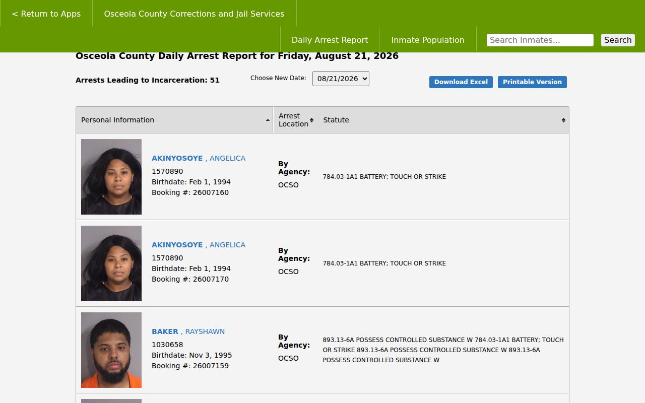
The image identifies the county source and should not be read as a general resident list. The Florida corrections search covers state correctional populations.
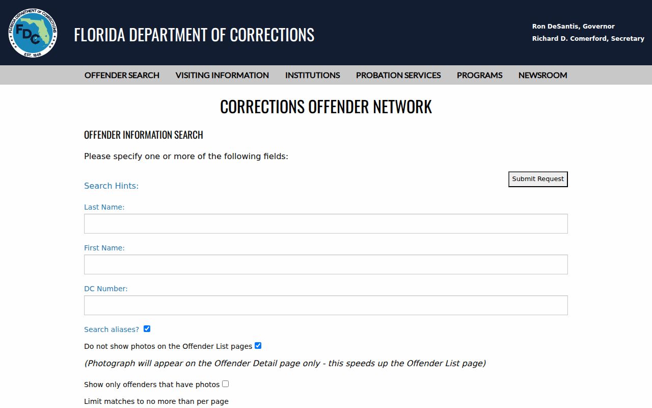
Its status and location fields concern corrections records, not all people on a block. The FDLE registry has an official neighborhood mode for the statutory population it covers.
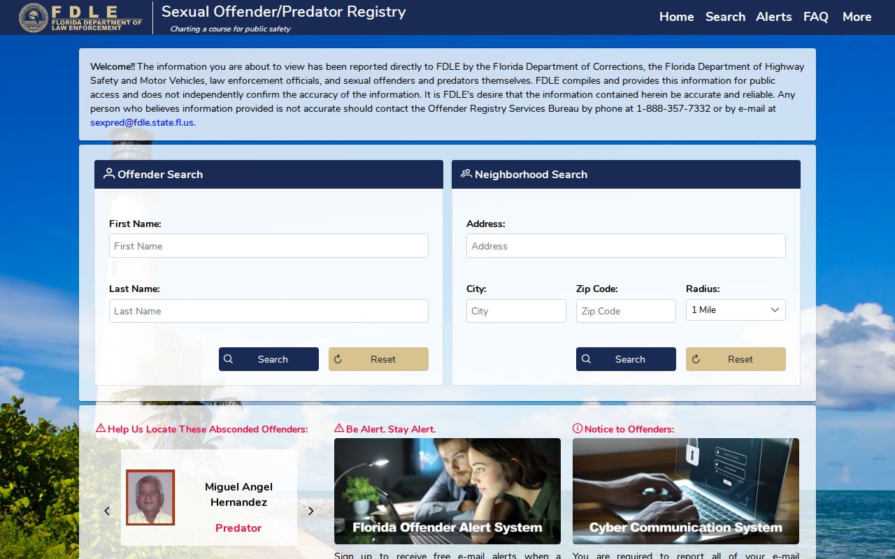
Read address verification age and qualifying status, and do not expand a limited registry result into claims about unrelated neighbors.
Protect Osceola Neighbors' Family Records
Birth and divorce records illustrate why a public-record law is not a blanket resident directory. Florida birth certificates less than 125 years old are confidential and limited to eligible requesters. The state birth-certificate page explains that route.
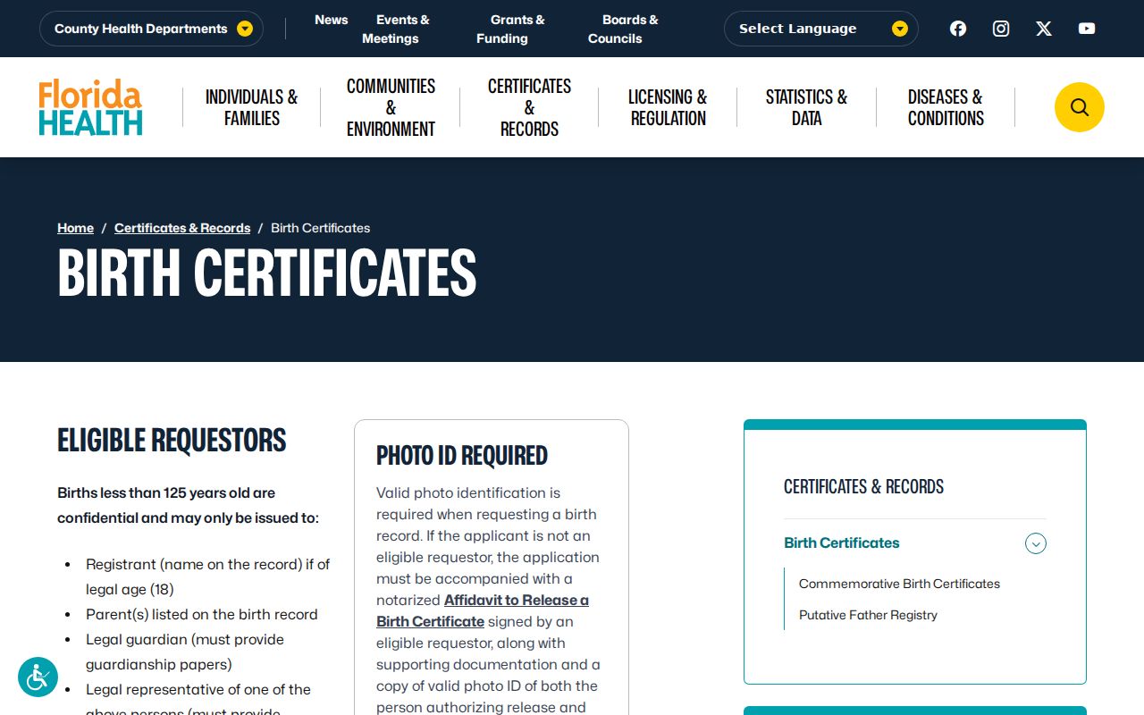
The source confirms an eligibility process, not a way to identify children or household members. Florida dissolution certifications cover events from June 6, 1927 forward, while the full court file remains with the Clerk. The state dissolution page explains that distinction.
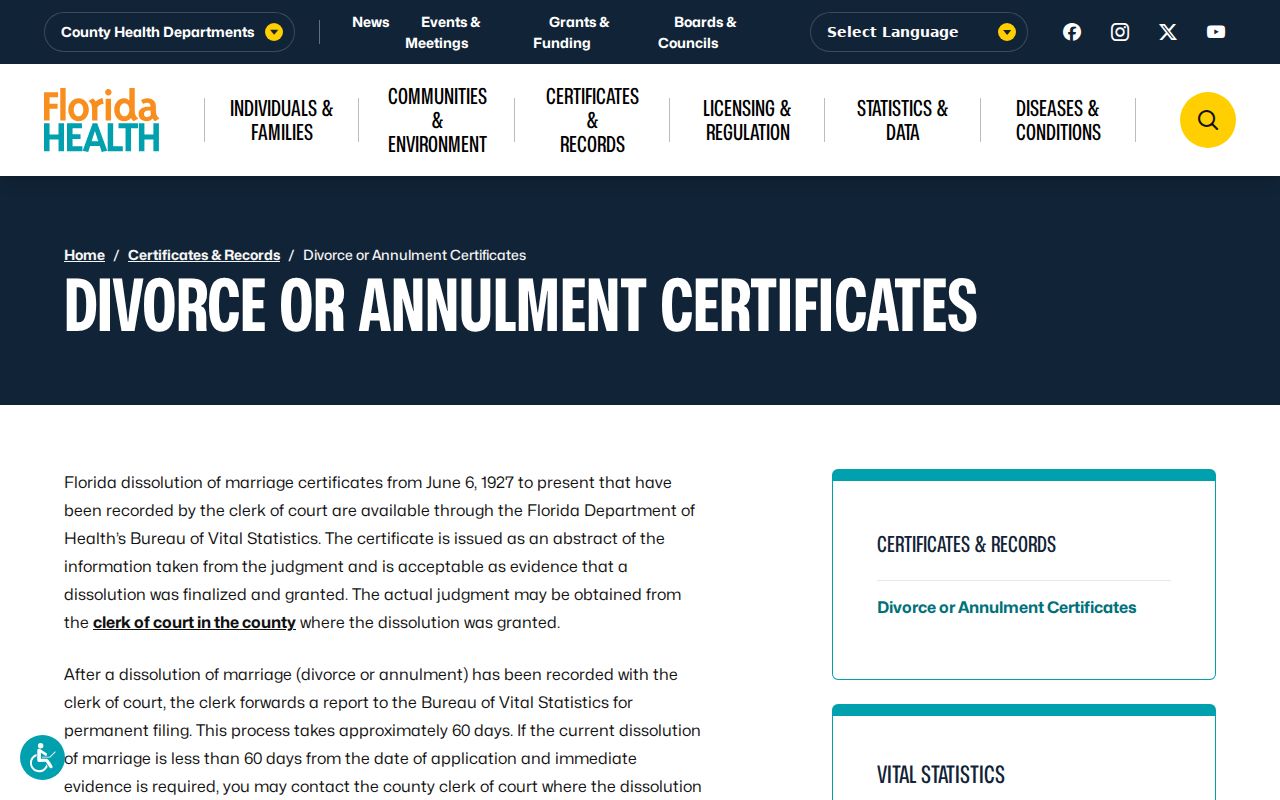
A state certificate is not the full decree, and neither record should be used to infer who occupies a nearby home now.
Privacy for Osceola Neighbors
Public land records omit many people. Renters, household members who are not on a deed, minors, utility customers, delivery customers, and protected residents do not form a public block directory. Florida's Address Confidentiality Program uses a substitute mailing address for eligible victims. Section 119.071 can shield location data for listed occupations and families. Do not try to reconstruct a protected home through map, parcel, or cross-source links.
Florida stalking and cyberstalking law addresses threats, repeated electronic contact, and harassment. Lawful curiosity about a plat or property owner does not authorize watching, contacting, or intimidating a person. If a record seems wrong, report it to its custodian. OCPA handles parcel fields; elections handles registration; the Clerk handles its index under governing authority. Preserve the record ID and date.
Lawful use. Use Osceola County neighbors records for civic, property, or personal safety awareness. Never stalk, harass, threaten, or defeat protected-address measures.
Note: Public availability defines access to a record, not permission to turn that record into a claim about a household.